Task Overview: Rapid Static GNSS Campaign:
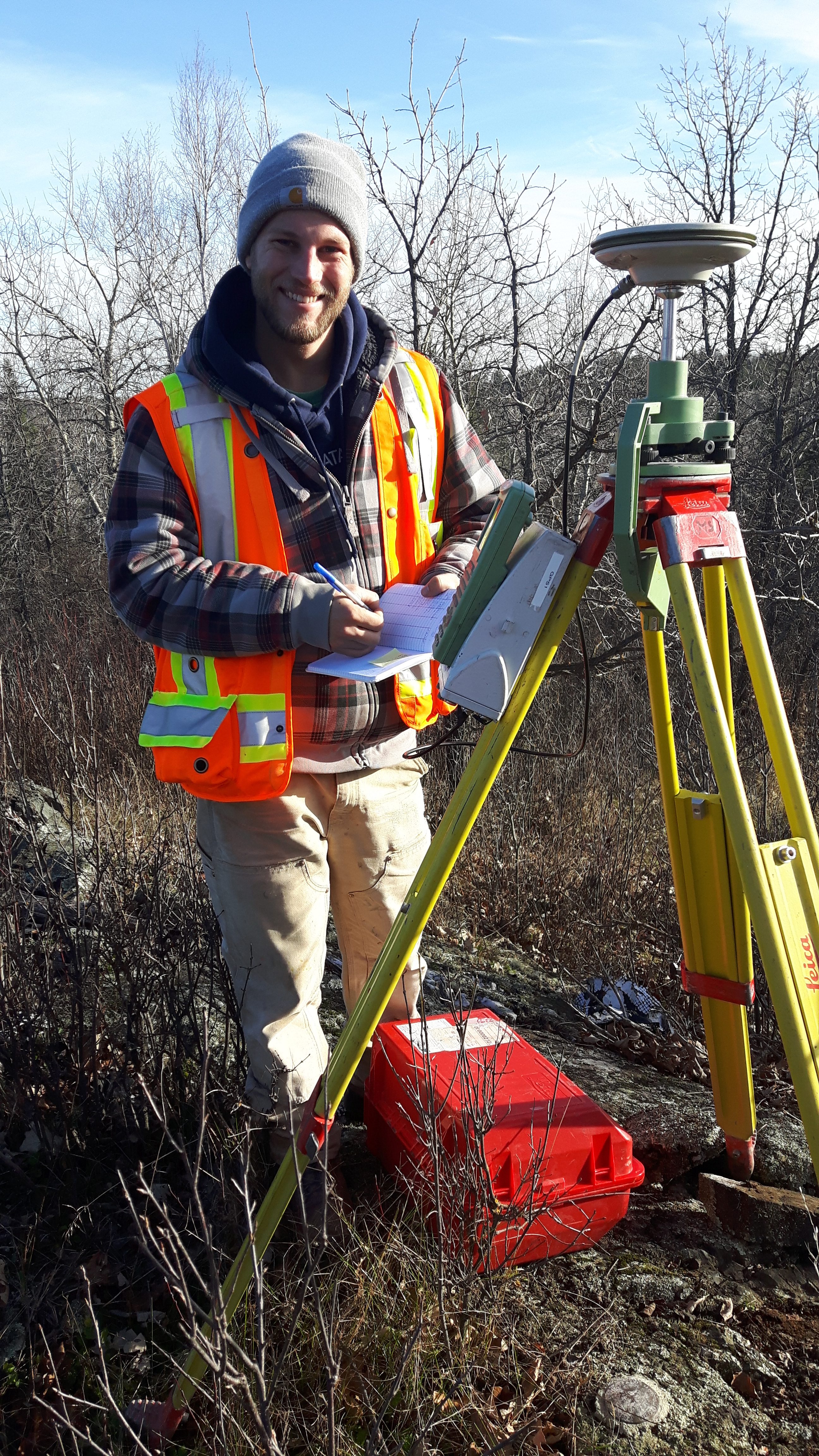
Technician Mark Paddey (pictured above) is documenting survey station parameters and diagramming the vicinity and any obstructions. Monteith & Sutherland established 16 control monuments along a 10km stretch of Highway 600. We used a classical static survey technique to establish our control values over such a large area. The rapid static GNSS technique using our Leica GNSS 1200 receivers can provide accuracies to the order of 1:5,000,000. Using our equipment, the accuracy expectations for horizontal coordinates are 3mm + 0.5ppm and vertical coordinates are 6mm + 0.5ppm, which are unmatchable over large distances with other survey techniques. Mark worked in conjunction with 3 to 4 other staff who established other receivers. Data is recorded on all receivers simultaneously at the same data rate, typically 5 seconds. Observation time for the rapid static campaigns are based on the length between the occupied points and also based on the number of available satellites. At least 4 satellites are required to resolve Latitude, Longitude, Height, and Receiver Time Offset. For this project, we completed two initial 2-hour baseline campaigns followed by shorter observation times on successive campaigns measuring each new point. This allowed us to properly complete the data reduction and post-processing of the satellite data and publish accurate coordinate for these new control monuments.