Featured Project: Cherry Street Lakefill Hydrographic Survey

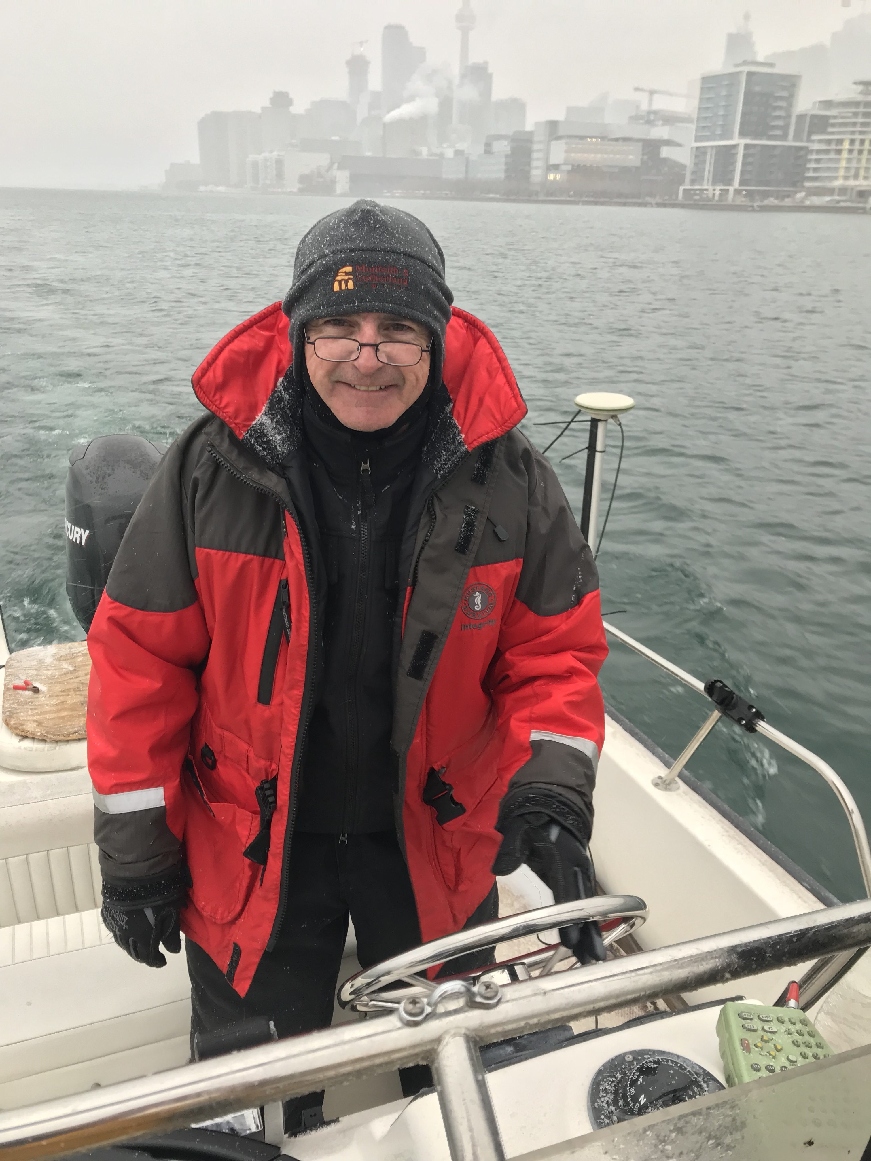
Glenn Dawson, and his crew braved the cold and icy weather to collect bathymetric data around the Essroc Quay. The crew equipped a nineteen-foot Boston Whaler boat with a single beam echosounder.

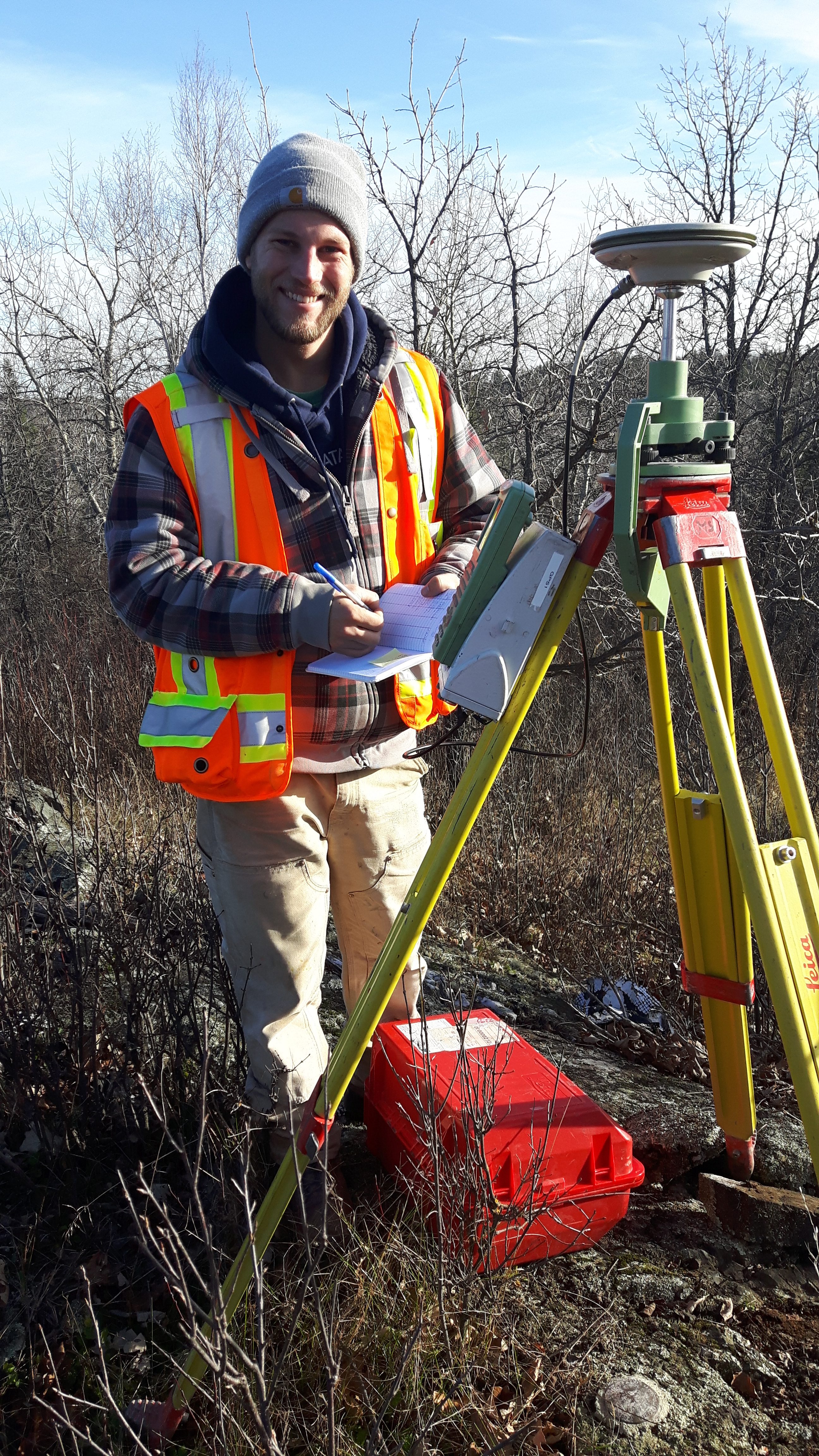
The sounder obtains depth data at a predetermined frequency as the boat moves around the harbour along a pre-planned runlines. A GNSS unit collects positional data of the transducer in real time.

This task was completed as part of Cherry Street Stormwater and Lakefilling project which is the first step to improve the area for reuse and naturalization.


February Featured Project: Rapid Static GNSS Campaign

Task Overview: Rapid Static GNSS Campaign:

Technician Mark Paddey (pictured above) is documenting survey station parameters and diagramming the vicinity and any obstructions. Monteith & Sutherland established 16 control monuments along a 10km stretch of Highway 600. We used a classical static survey technique to establish our control values over such a large area. The rapid static GNSS technique using our Leica GNSS 1200 receivers can provide accuracies to the order of 1:5,000,000. Using our equipment, the accuracy expectations for horizontal coordinates are 3mm + 0.5ppm and vertical coordinates are 6mm + 0.5ppm, which are unmatchable over large distances with other survey techniques. Mark worked in conjunction with 3 to 4 other staff who established other receivers. Data is recorded on all receivers simultaneously at the same data rate, typically 5 seconds. Observation time for the rapid static campaigns are based on the length between the occupied points and also based on the number of available satellites. At least 4 satellites are required to resolve Latitude, Longitude, Height, and Receiver Time Offset. For this project, we completed two initial 2-hour baseline campaigns followed by shorter observation times on successive campaigns measuring each new point. This allowed us to properly complete the data reduction and post-processing of the satellite data and publish accurate coordinate for these new control monuments.