On May 31 – June 1 Monteith & Sutherland team presented our expertise in high accuracy and precision surveys; notably featuring GYROMAT3000, for mining industry applications at Canadian Mining Expo, in Timmins, Ontario.
Gyroscopic survey at Nickel Rim South project, 2000+ metres underground
Last month Monteith & Sutherland crew performed highly accurate gyroscopic survey using GYROMAT3000 at Nickel Rim South project of Glencore in Sudbury, Ontario, at over 2000 metres underground.
Thanks Glencore team for all the help and safe site conditions which made the work just flawless!
Image source Canadian Mining Journal
Complete Geospatial Solutions
From the design of complex geodetic networks through control surveys, gyroscopic verifications, monitoring, hydrographic surveying, detailed topo and HDL Scanning to UAV mapping, at Monteith & Sutherland we have expert personnel and precise equipment to provide trusted results. Monteith & Sutherland: Complete Geospatial Solutions.
Tunnel surveying | ECLRT Project
Monteith & Sutherland have been proud partners of Metrolinx, and provide high precision survey services in challenging conditions. In this particular project – performing differential levelling, total station traverses, gyroscopic verification surveys, and High Definition Laser Scanning for our client.
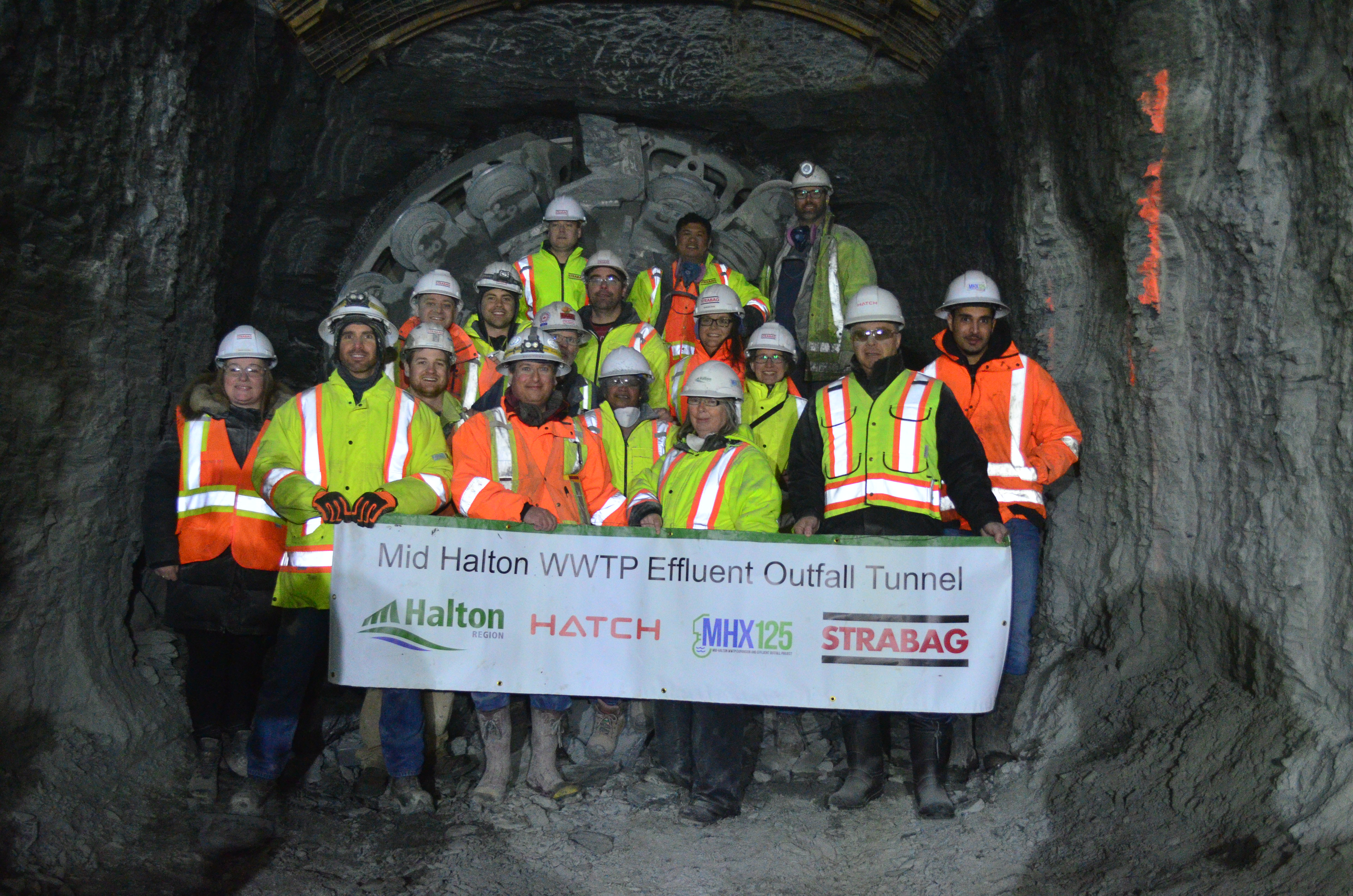
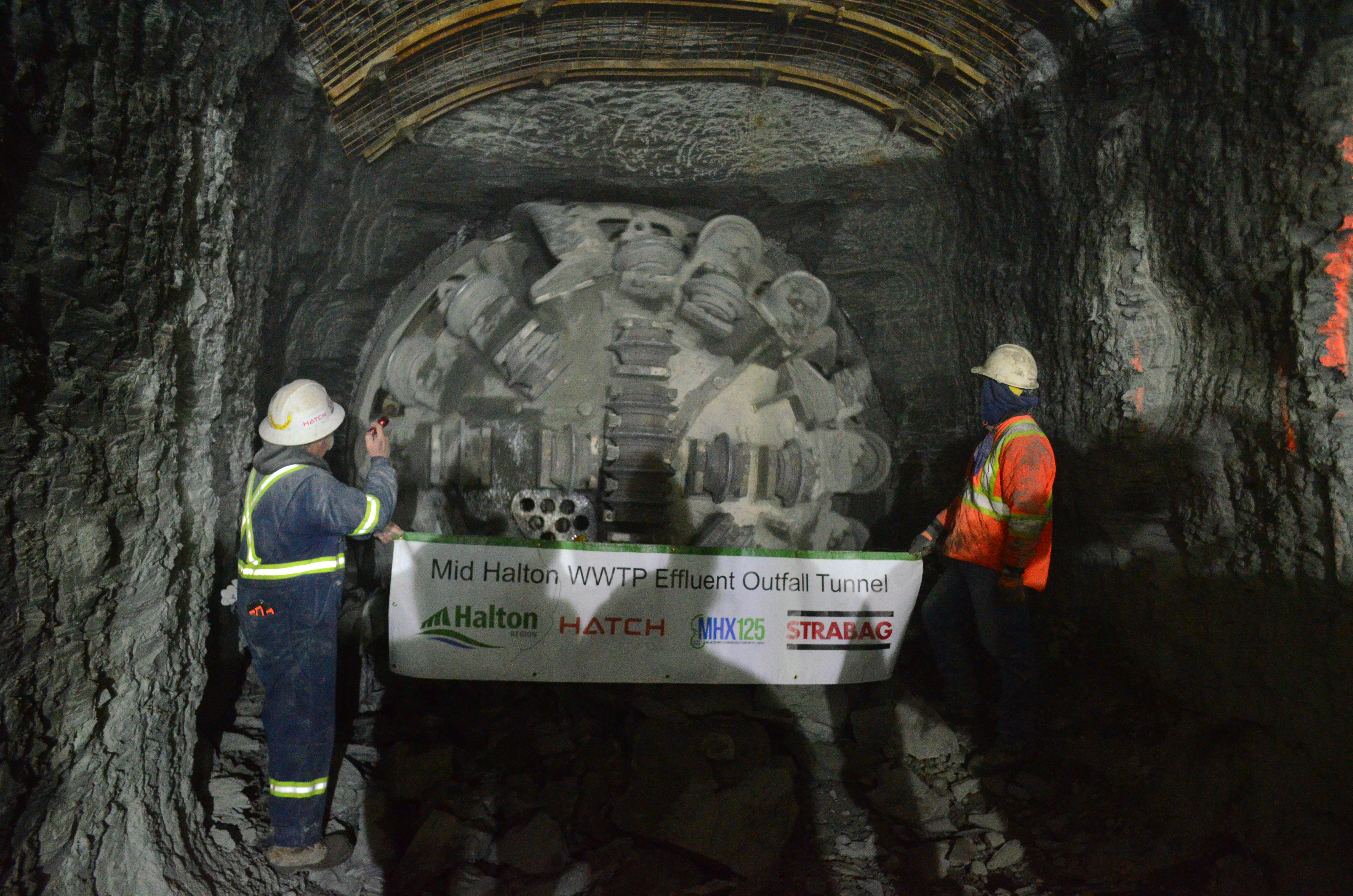
Mid Halton WWTP Effluent Outfall Tunnel Breakthrough
Congratulations to the entire STRABAG team working on the Mid Halton WWTP Effluent Outfall Tunnel.
Yet another accurate and precise breakthrough was made, notably due to tremendous efforts of the project tunnel surveying crew.
At Monteith & Sutherland we are happy to have had contributed to this success by performing numerous gyroscopic surveys, using GYROMAT3000 in order to verify the correctness of the complex underground traverse network spanning over 4 kilometers.
Spot on!
***All images are courtesy of STRABAG Canada***