Dixie-QEW, Microtunnelling, Surveying

Featured Project: Microtunnel alignment surveys, Dixie-QEW Storm Sewer

Monteith & Sutherland crews work with CRS Tunnelling Canada project team to ensure the microtunnelling of the 1200mm storm sewer at Dixie-QEW is going per design alignment.

Precise traversing, while crawling, bending and crouching, and carrying the survey equipment all the way to the heading in and back to the portal is a very demanding task. Our crews do an outstanding job, delivering excellent surveys data sets, and performing all tasks in a safe manner.

Featured Project: TTC Subway Survey

Monteith and Sutherland crews worked on a comprehensive survey for the TTC‘s Bloor-Yonge and Pape stations.

Soheil Namdari, pictured above, lead one of the Survey crews completing the control and topographic surveys at Pape Station. The survey crews performed precise traversing and levelling from local City of Toronto control monuments to Pape station. A street-level topopgraphic survey around Pape Station was completed for future planning purposes. We also searched for boundary evidence and completed a cadastral survey to confirm the Pape Station property limits.

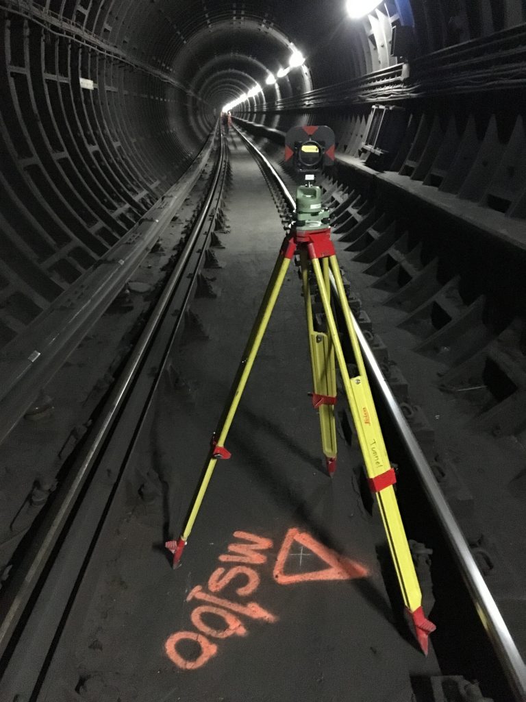
At Bloor-Yonge Station project, the crews traversed and levelled from local City of Toronto control monuments to platform level, and then into the tunnels. The control network was then adjusted and used to coordinate the High-Definition Laser Scanning campaign. The challenge of the project has been the time constraints and limited work windows to ensure regular TTC services are not impacted. The use of a HD-scanner was imperative to get big volumes of detailed data as quickly as possible. Our Leica P40 Leica scanner is very quick and of the high precision.


February Featured Project: Rapid Static GNSS Campaign

Task Overview: Rapid Static GNSS Campaign:

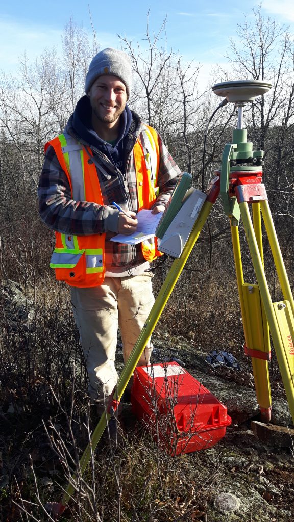
Technician Mark Paddey (pictured above) is documenting survey station parameters and diagramming the vicinity and any obstructions. Monteith & Sutherland established 16 control monuments along a 10km stretch of Highway 600. We used a classical static survey technique to establish our control values over such a large area. The rapid static GNSS technique using our Leica GNSS 1200 receivers can provide accuracies to the order of 1:5,000,000. Using our equipment, the accuracy expectations for horizontal coordinates are 3mm + 0.5ppm and vertical coordinates are 6mm + 0.5ppm, which are unmatchable over large distances with other survey techniques. Mark worked in conjunction with 3 to 4 other staff who established other receivers. Data is recorded on all receivers simultaneously at the same data rate, typically 5 seconds. Observation time for the rapid static campaigns are based on the length between the occupied points and also based on the number of available satellites. At least 4 satellites are required to resolve Latitude, Longitude, Height, and Receiver Time Offset. For this project, we completed two initial 2-hour baseline campaigns followed by shorter observation times on successive campaigns measuring each new point. This allowed us to properly complete the data reduction and post-processing of the satellite data and publish accurate coordinate for these new control monuments.