Hamilton Barton St Overflow HDL Pointcloud Snapshot

Featured Project: Pre-rehabilitation HDLS survey of overflow sewer

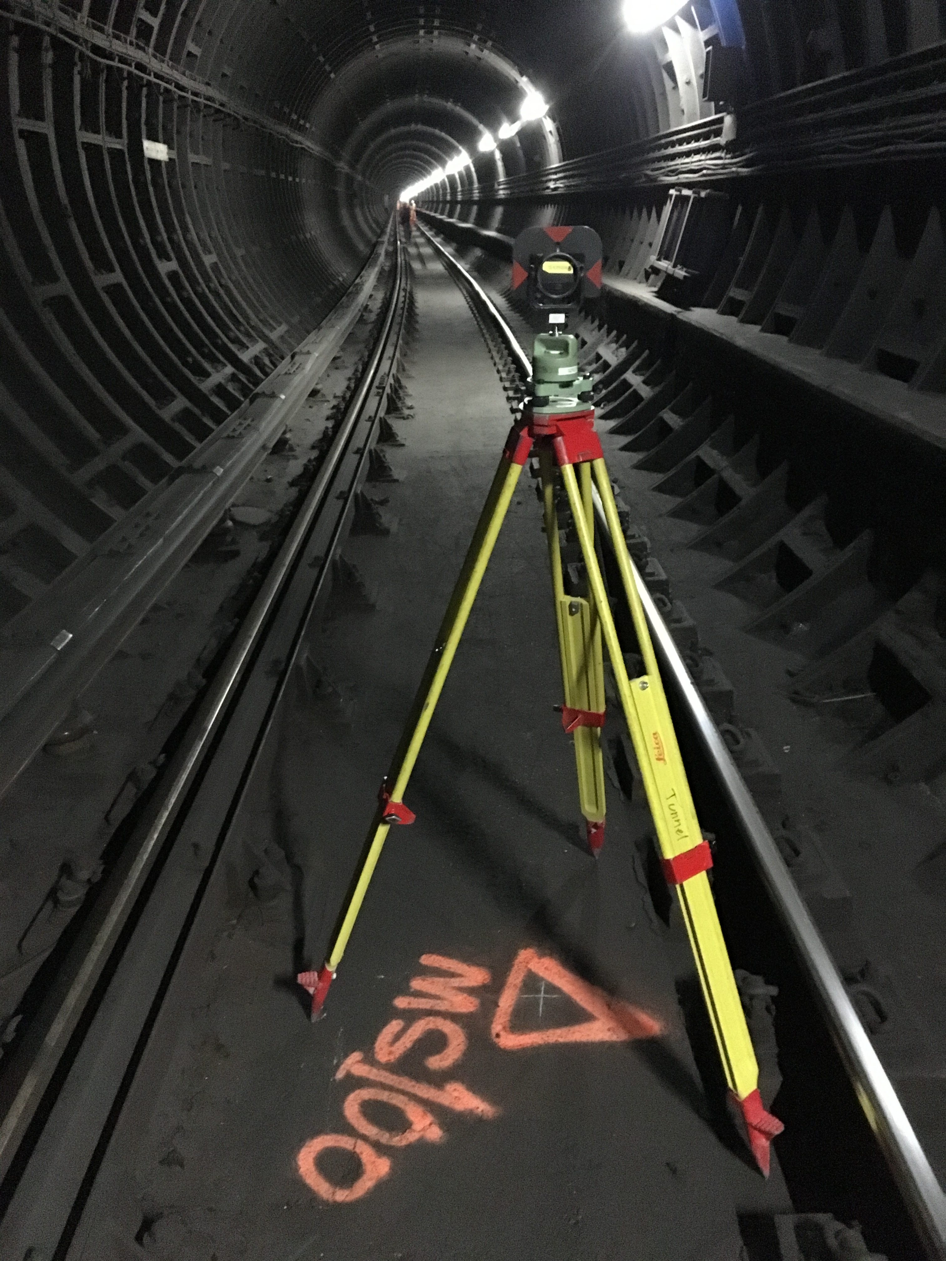
Last month Monteith & Sutherland have teamed-up with PipeFlo and performed pre-rehabilitation high definition laser scanning (HDLS) survey of overflow sewer at Barton Street between Weir St North and Fairfield.

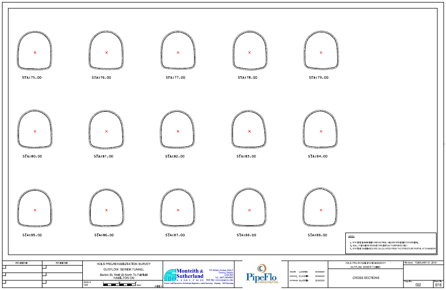
The survey was completed with P40 Leica HDL scanner. The data were processed in Leica Cyclone, and cross-sections at 1 metre interval, along with best fit centreline of the structure, were generated in 3D Reshaper:

Hamilton Barton Overflow HDLS Cross-sections

Thanks PipeFlo for the highest safety practices pertaining the confined space entry, and for all the help during the survey.


Featured Project: TTC Subway Survey

Monteith and Sutherland crews worked on a comprehensive survey for the TTC‘s Bloor-Yonge and Pape stations.

Soheil Namdari, pictured above, lead one of the Survey crews completing the control and topographic surveys at Pape Station. The survey crews performed precise traversing and levelling from local City of Toronto control monuments to Pape station. A street-level topopgraphic survey around Pape Station was completed for future planning purposes. We also searched for boundary evidence and completed a cadastral survey to confirm the Pape Station property limits.

At Bloor-Yonge Station project, the crews traversed and levelled from local City of Toronto control monuments to platform level, and then into the tunnels. The control network was then adjusted and used to coordinate the High-Definition Laser Scanning campaign. The challenge of the project has been the time constraints and limited work windows to ensure regular TTC services are not impacted. The use of a HD-scanner was imperative to get big volumes of detailed data as quickly as possible. Our Leica P40 Leica scanner is very quick and of the high precision.